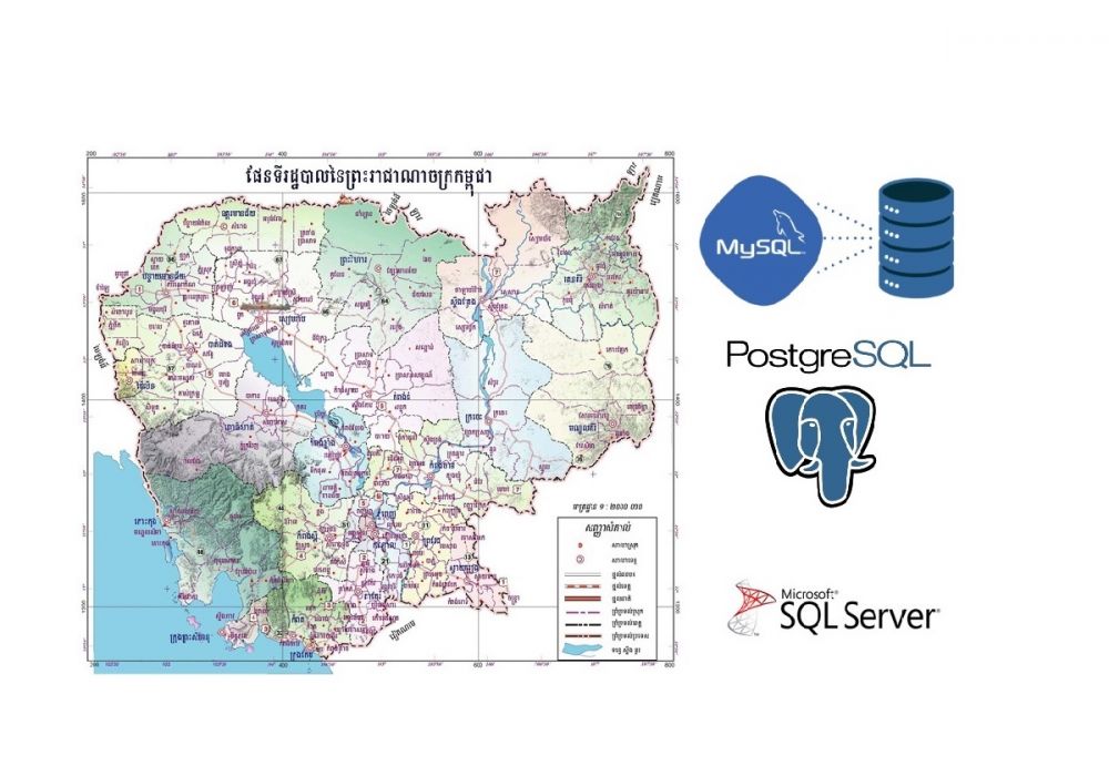
Cambodia geography database with sql for loading into your database system
Extract Cambodia geography database from http://db.ncdd.gov.kh/
Introduction
Software development has been rapid growth in the last decade in the Cambodian market. Both public and private sectors were utilized computer and technology to accompany their business workflow to grow and improve sales, work productivity, and efficiency. Developing desktop Windows applications, websites, or web applications for Cambodian clients, you might struggle with a problem that requires to use of geography information or data of Cambodia country such as villages, communes, etc. For example, if you develop a human resources system that requires saving employee birthplace or current address, you have no choice but to find the pre-defined geography data and load it into your database in order to display for the user to select/use.
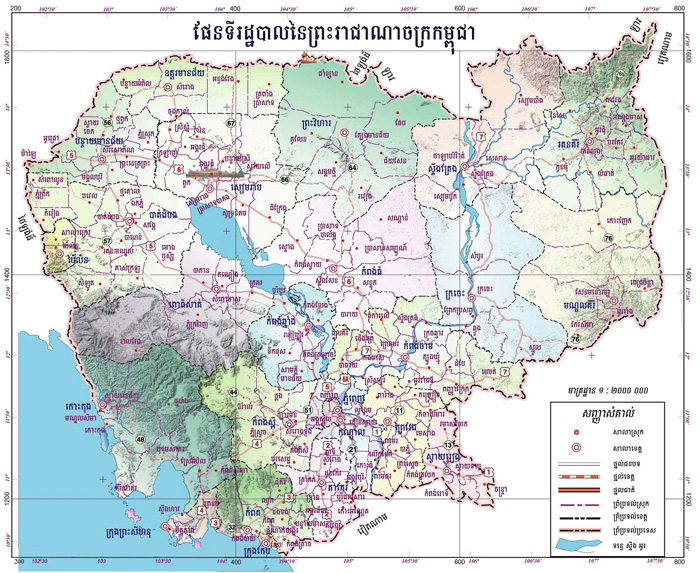
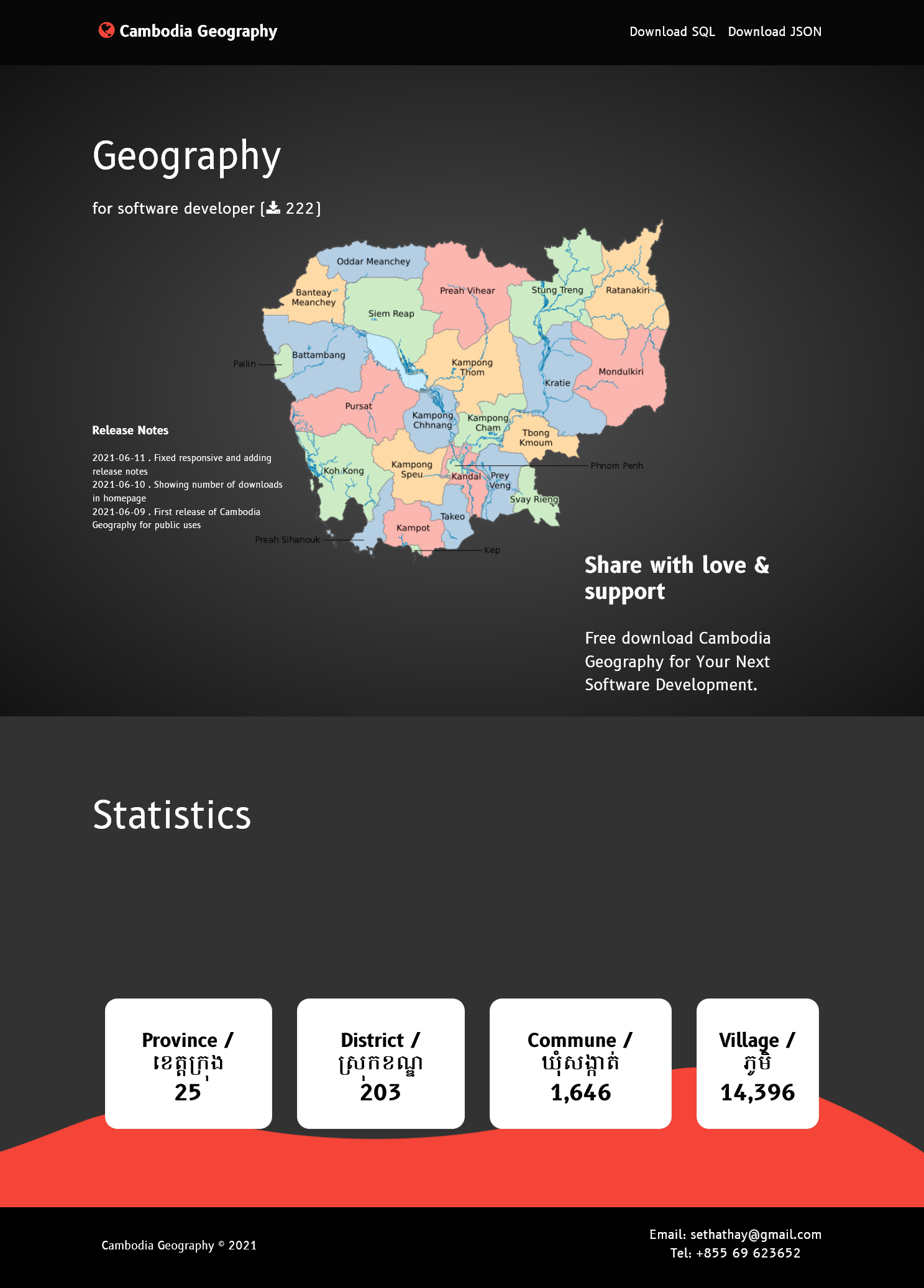
Being a developer and also database administrator living in my beloved country Cambodia, I feel very frustrated when developing a system or web application that needed those data to load into the development database. Geography data mentioned here mostly refer to province, district, commune, and village data which are used in most software development related to CAMBODIA. As you may already know that we usually take the data from the government website http://db.ncdd.gov.kh/gazetteer/view/index.castle
which can be download in MS. EXCEL format (xls). This is very difficult to prepare those geography data to load into the development database because of the difficulty to use tools, format, and data preparation time.
Problem
The difficulty of getting the latest Cambodia geography data in order to load into the development database due to the file getting from NCDD is in MS.EXCEL format. Almost Cambodian software developers, when developing new software or system which is related to Cambodia's geography, will face these kinds of problems. First, they do not have geography data that is easily loaded into their database or they may have the geography data but it's not up to date with the recent added/updated village, commune, district, or province that was just newly created by a new sub-decree declared by the Cambodian government. Second, the geography data format from each developer might be different due to individual needs or designs. We hope the solution we provide will give a united data format that is easy to replace or update with the ready-to-go state.
Solution
We have developed a small laravel program that smartly takes the data from the excel file and then programming to massages data in order to insert it into the table based on our designed structure. Excel files were scheduled automatically downloaded from the government website. Then, we perform exporting the data inside our table into two different formats (SQL, JSON) for all the developers to download from this website https://geo.nestcode.co The backend process is done automatically using CRON service every SUNDAY weekend to make sure we got the latest data from the NCDD website. This is to ensure that we have up-to-date data or we can say 1 week late compared to government data. Furthermore, we also included all the related data to our Cambodia Geography such as latitude longitude, population, government administration info, etc.
Hopefully, this solution will help developers to save their time for coding without worrying about geography data and guarantee the update-to-date of data. All they have to do is to visit our website and download to use :)
STAY TUNE and WE WILL UPDATE MORE. THANK YOU
About author

SETHA THAY
Software Engineer & Project Manager. I am willing to share IT knowledge, technical experiences and investment to financial freedom. Feel free to ask and contact me.
You may also like